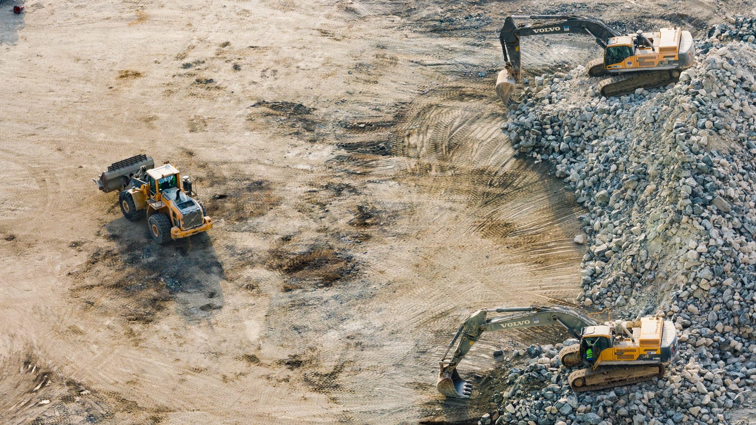
Mining & Quarries

Measurement of Mining sites and quarries with a photo or LiDAR system from the air
The measurementof mining sites and quarry inspection with a drone supplements the classic terrestrial recording methods and allows an efficient data acquisition of large areas or inaccessible objects.
Areas of application:
- Landfills
- Quarries
- Gravel and Excavation pits,
- Facade Plans
- Crevice Protocols
- Building Models
- Roofscape
- Rock Protection
Applications:
- Digital Terrain Models
- Countour Maps
- Foundation Plans
- Orthophotos
- Volume Determinations
- Architectural Survey
- Surface models of rock walls and slopes for planning safety measures
We train drone pilots for this segment.
Location:
droneLIONS Academy
by nicopter GmbH
Philippenstrasse 5
8247 Flurlingen
Switzerland
droneLIONS Academy
by nicopter GmbH
Philippenstrasse 5
8247 Flurlingen
Switzerland
